See Cars in Your Neighborhood
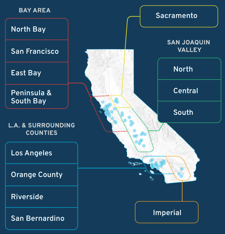
As of June 30, the Aclima fleet has officially started monitoring across the state. To learn more about the monitoring in your community, you can read through the Community Air Monitoring Plan (CAMP).

Cap-and-Trade in Action
Through our partnership with the California Air Resources Board (CARB), we’re using advanced tech to map pollution and protect communities putting cap-and-trade dollars to work in the state of California.

What’s in the air we breathe?
No matter where we live, human activity creates many air pollutants. When government regulators like CARB and communities know which pollutants are in the air, where those pollutants’ levels are highest, and where they’re coming from, they can work together to reduce emissions and deliver cleaner air.
Learn more about out how Aclima maps air.


%2c%20Vernon%2c%20Bell.png?width=300&height=113&name=Breathe%20SoCal%20Compton%2c%20Rancho%20Dominguez%2c%20Willowbrook%2c%20Lynwood%2c%20Paramount%2c%20North%20Long%20Beach%2c%20Maywood%2c%20Commerce%20(east)%2c%20Vernon%2c%20Bell.png)
%2c%20Bassett.png?width=300&height=139&name=Californians%20for%20Pesticide%20Reform%20El%20Monte%2c%20South%20El%20Monte%2c%20Avocado%20Heights%2c%20Hacienda%20Heights%2c%20La%20Puente%20(west)%2c%20Bassett.png)

%20Inland%20Empire.png?width=300&height=300&name=Center%20for%20Community%20Action%20and%20Environmental%20Justice%20(CCAEJ)%20Inland%20Empire.png)

%20Gilroy%2c%20Morgan%20Hill%2c%20Vallejo.png?width=300&height=300&name=Community%20Agency%20for%20Resources%2c%20Advocacy%20and%20Services%20(CARAS)%20Gilroy%2c%20Morgan%20Hill%2c%20Vallejo.png)
%20Gilroy.png?width=300&height=300&name=Community%20Agency%20for%20Resources%2c%20Advocacy%20and%20Services%20(CARAS)%20Gilroy.png)
%2c%20Bloomington%2c%20Fontana%2c%20Rialto.png?width=300&height=118&name=Cool%20OC%20Colton%2c%20Grand%20Terrace%2c%20San%20Bernardino%20(southwest)%2c%20Bloomington%2c%20Fontana%2c%20Rialto.png)

.png?width=865&height=486&name=elconcilio_hd%20(1).png)


.png?width=300&height=169&name=Just%20Cities-HD%20(2).png)


.png?width=300&height=160&name=Sacramento%20EJC%20The%20West%20Side%20(Huron%2c%20Avenal%2c%20and%20Coalinga).png)


%20Fairfield%2c%20Vallejo.png?width=300&height=177&name=Sustainable%20Solano%20(Limited)%20Fairfield%2c%20Vallejo.png)


%2c%20Southwest%20Modesto%2c%20West%20Stanislaus%20County.png?width=300&height=194&name=Valley%20Improvement%20Projects%20South%20Modesto%20(Modesto%2c%20Modesto%20Airport%20neighborhood)%2c%20Southwest%20Modesto%2c%20West%20Stanislaus%20County.png)